Weekly webinars in May 2022
Geoprevent offers weekly live webinars on topics related to electronic monitoring of natural hazards in May 2022. We record the webinars and offer them for replay using the links below.
Webinar 1 (Tuesday, May 3, 2022, at 5 PM CET, 9 AM MDT, 8 AM PDT):
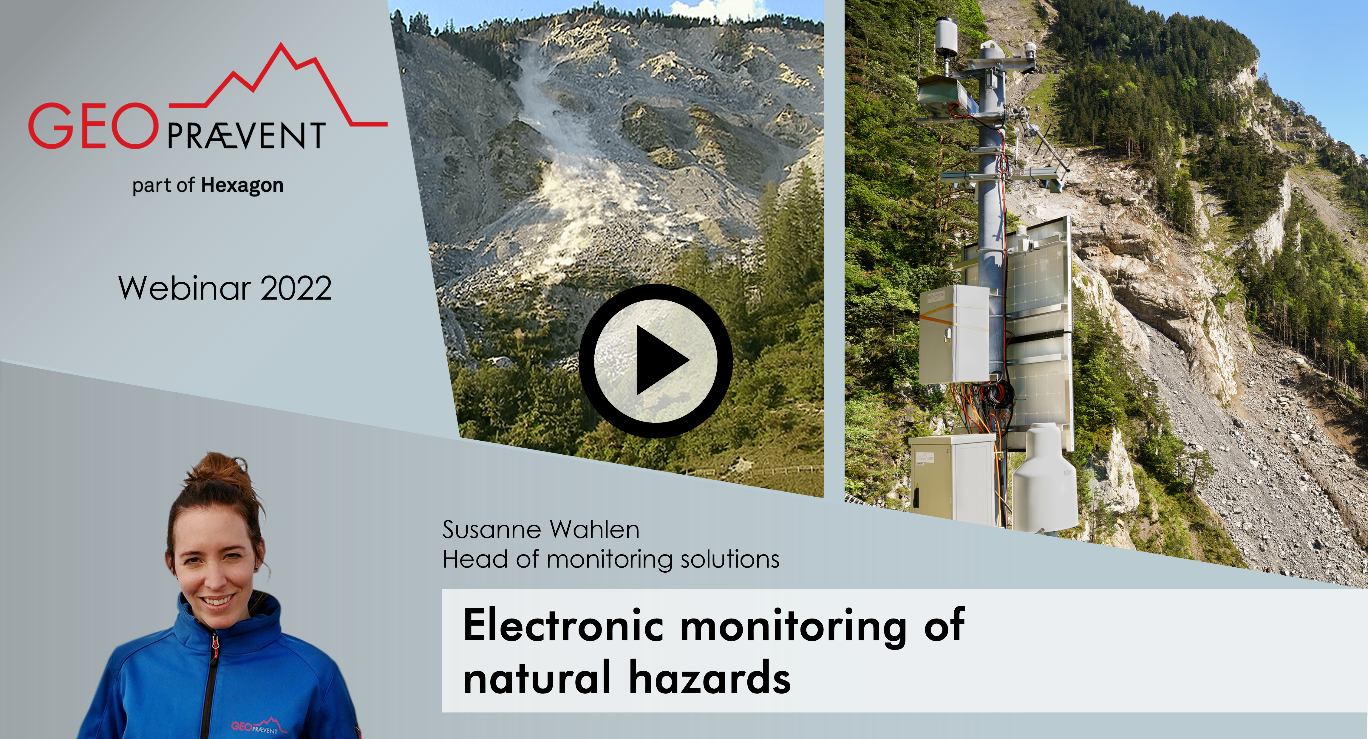
Electronic monitoring of natural hazards
- What is the state of the art in natural hazard monitoring?
- What is the advantage of automatic, electronic monitoring compared to manual measurements?
- Which processes can be monitored and what are the appropriate technologies to do so?
In the first webinar, Susanne Wahlen, Head of Monitoring Solutions at Geopraevent, gave a comprehensive overview of various options for electronic monitoring of gravitational natural hazards.
Webinar 2 (Tuesday, May 10, 2022, at 5 PM CET, 9 AM MDT, 8 AM PDT):
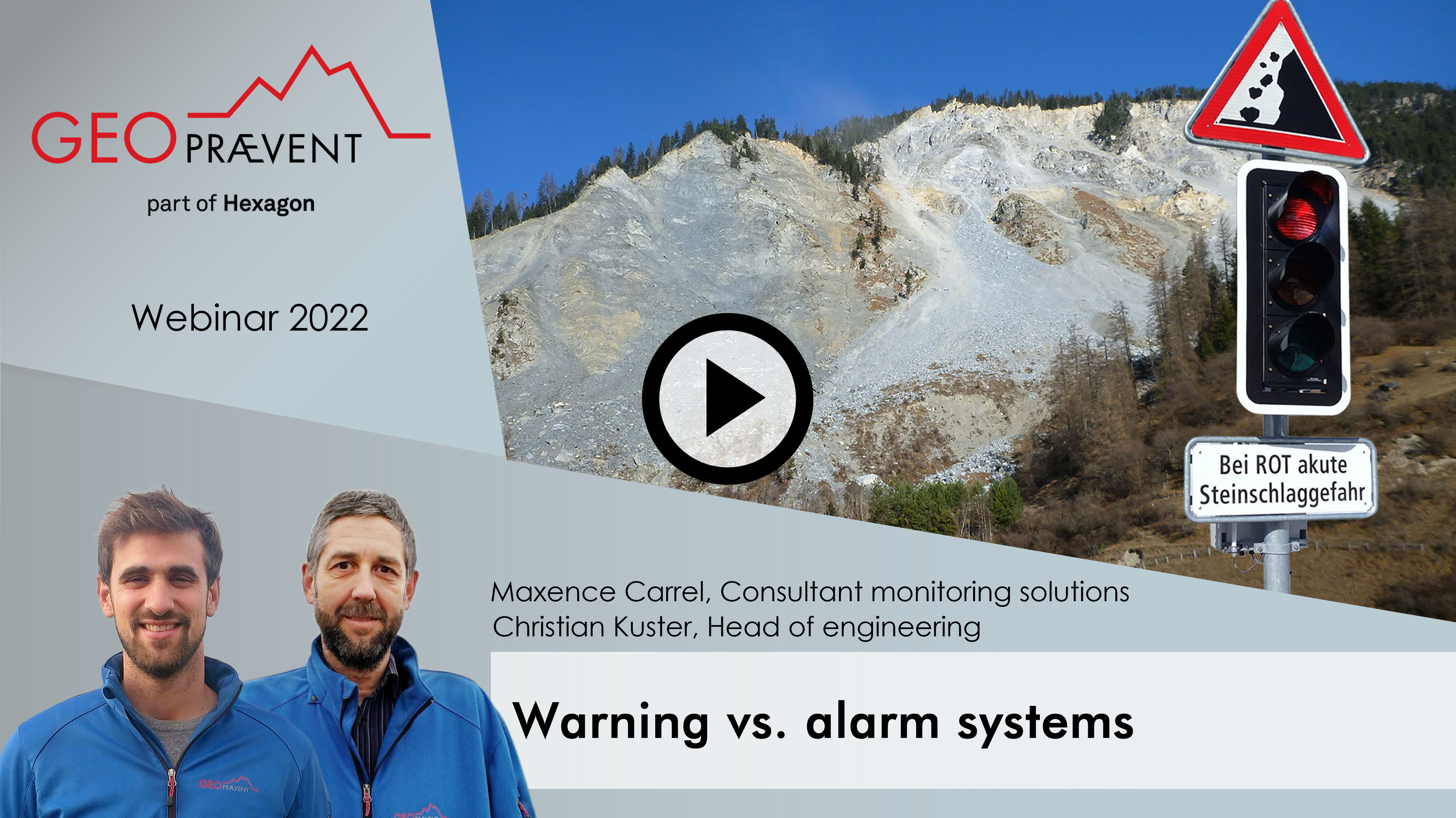
Warning systems vs. alarms systems
- How to design a system for a specific natural hazard problem, such as rockfall or avalanche?
- How do we ensure power supply and data communication for remote locations?
- What is there to consider in setting up an alarm system (e.g. warning time)?
The second webinar by Maxence Carrel PhD, Consultant Monitoring Solutions, and Christian Kuster, Head of Engineering, featured the setup and system-specific challenges of an early warning system.
Webinar 3 (Tuesday, May 17, 2022, at 5 PM CET, 9 MDT, 8 PDT):
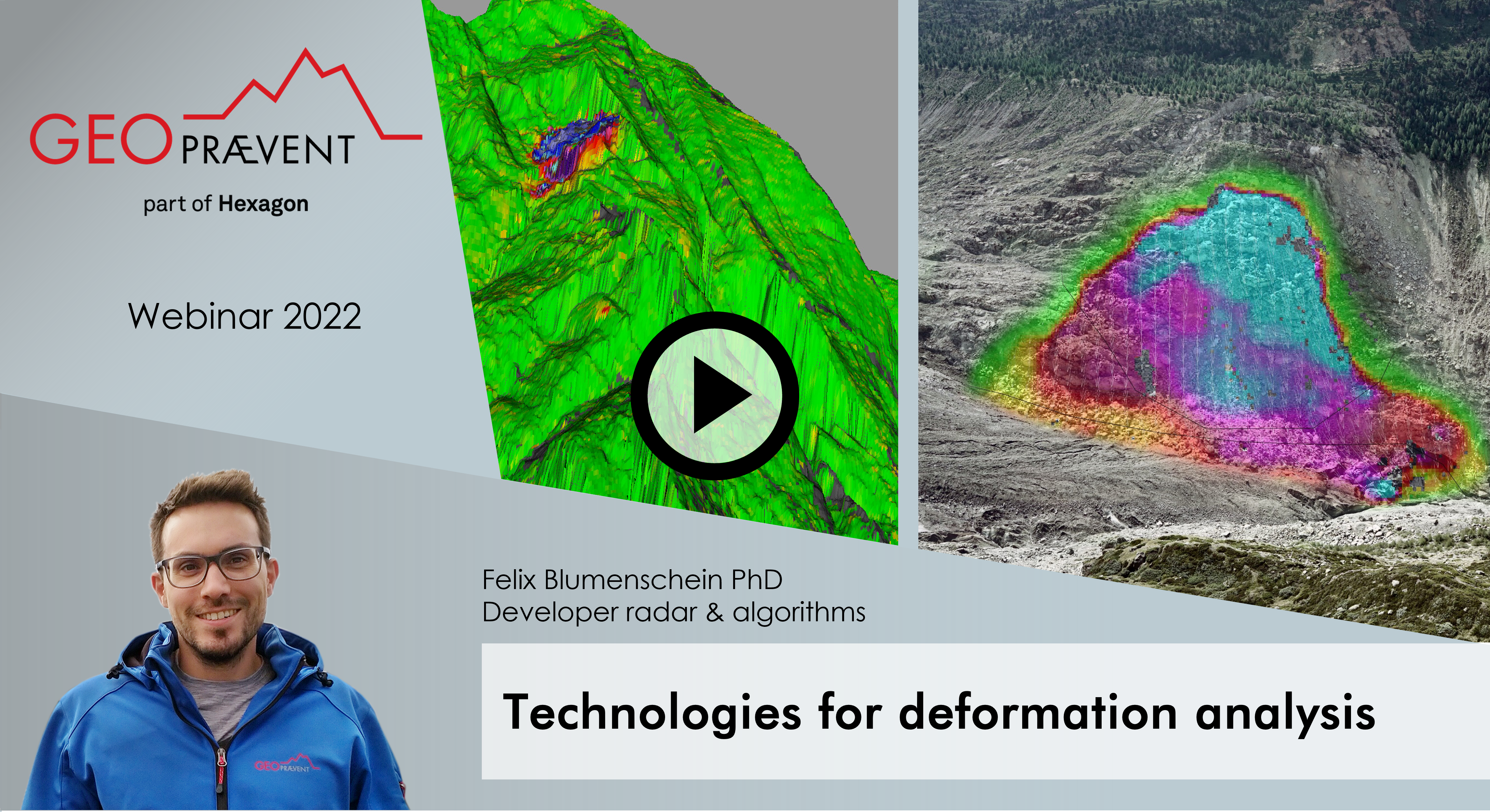
Technologies for deformation analysis
- Which sensor is suitable for two-dimensional analysis of slow, creeping deformation movements such as for a landslide?
- What is the max. measurement accuracies?
- Which directions are measured by what kind of technology?
In the third webinar of this series, Felix Blumenschein PhD, Developer Algorithms and Project Manager, looked at different technologies for deformation analysis.
Webinar 4 (Tuesday, May 24, 2022, at 5 PM CET, 9 AM MDT, 8 AM PDT):
About gauge, Doppler and interferometric radar systems
- How does radar technology, for example an avalanche radar, work in monitoring natural hazards?
- How does a radar detect events in all-weather and visibility conditions?
- What are the challenges in data processing?
In this webinar, the focus was on radar technology: Johannes Gassner PhD, Head of Radar & Algorithms, and Lino Schmid PhD, Developer Algorithms and Project Manager, gave insights into radar applications in natural hazards monitoring.
Webinar 5 (Tuesday, May 31, 2022, at 5 PM CET, 9 AM MDT, 8 AM PDT):
Monitoring of rock instabilities
- Which measurement technology is suitable for monitoring landslides, rock slides or boulder fall?
- What are the characteristics of local vs. areal instabilities and what does this mean for monitoring?
In this last webinar, Severin Stähly PhD, Consultant Monitoring Solutions, provided a technology comparison to illustrate suitable technologies for monitoring rock instabilities.
