we detect to protect

We design, develop, manufacture, install and operate integrated hard- and software solutions for alarming and monitoring of gravitative natural hazards.

Autonomous avalanche detection systems

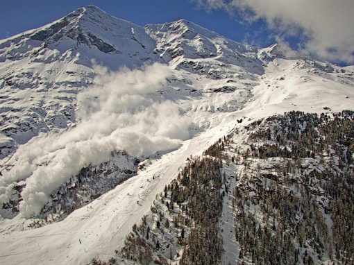
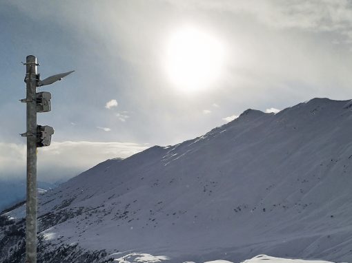
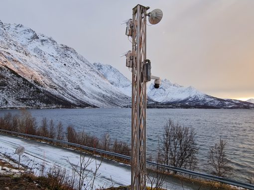
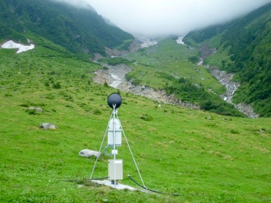
The avalanche radar reliably detects avalanches at distances of up to 5 km, day and night, in fog and snowfall.

Real-time blocking of traffic routes

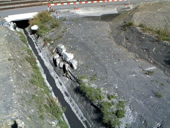
Radar systems monitor several square kilometers and close traffic routes within seconds in the event of avalanches, debris flows, or rockfalls.

Monitoring at 4,133 meters above sea level.

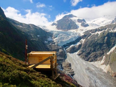
Our highest station in Europe monitors the hanging glacier of the Weisshorn with a deformation camera and detects instability at an early stage.

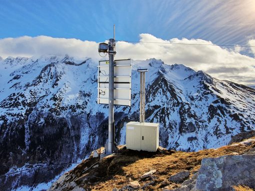
Deformation analysis from HiRes images

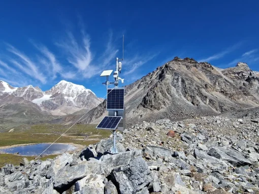
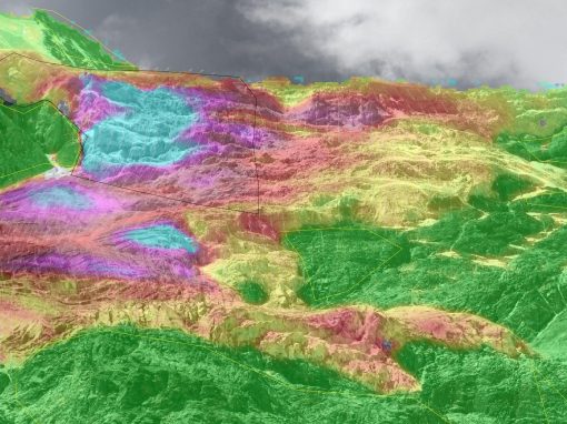
Autonomous system solution for remote monitoring of landslides and rock instabilities.

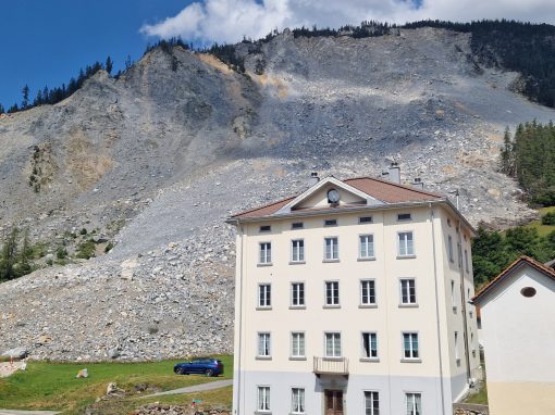
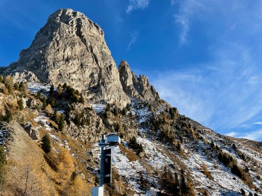
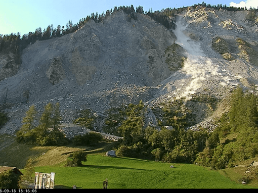
Radar system at Pizzo Cengalo

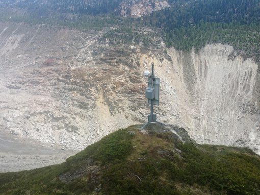
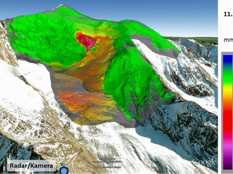
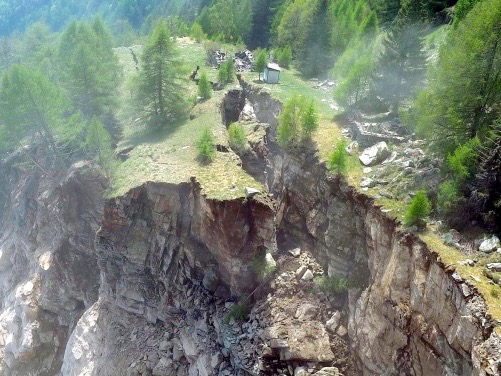
Geoprevent has installed a radar system on Piz Cengalo above Bondo. The system detects movements in the millimeter range and provides early warning.

Monitoring dangerous glaciers

Bis-glacier: Combined system with two deformation cameras and an avalanche radar with a range of 5 km!

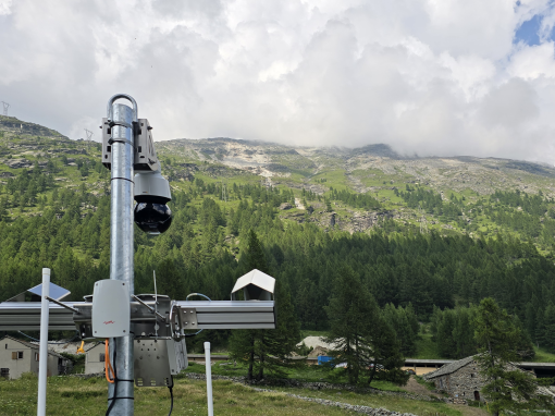
High-resolution webcams

Live and archived images with a resolution of up to 42 megapixels for automatic deformation analysis. Insight into the danger zone at any time in the online data portal.

Avalanche radar Zermatt

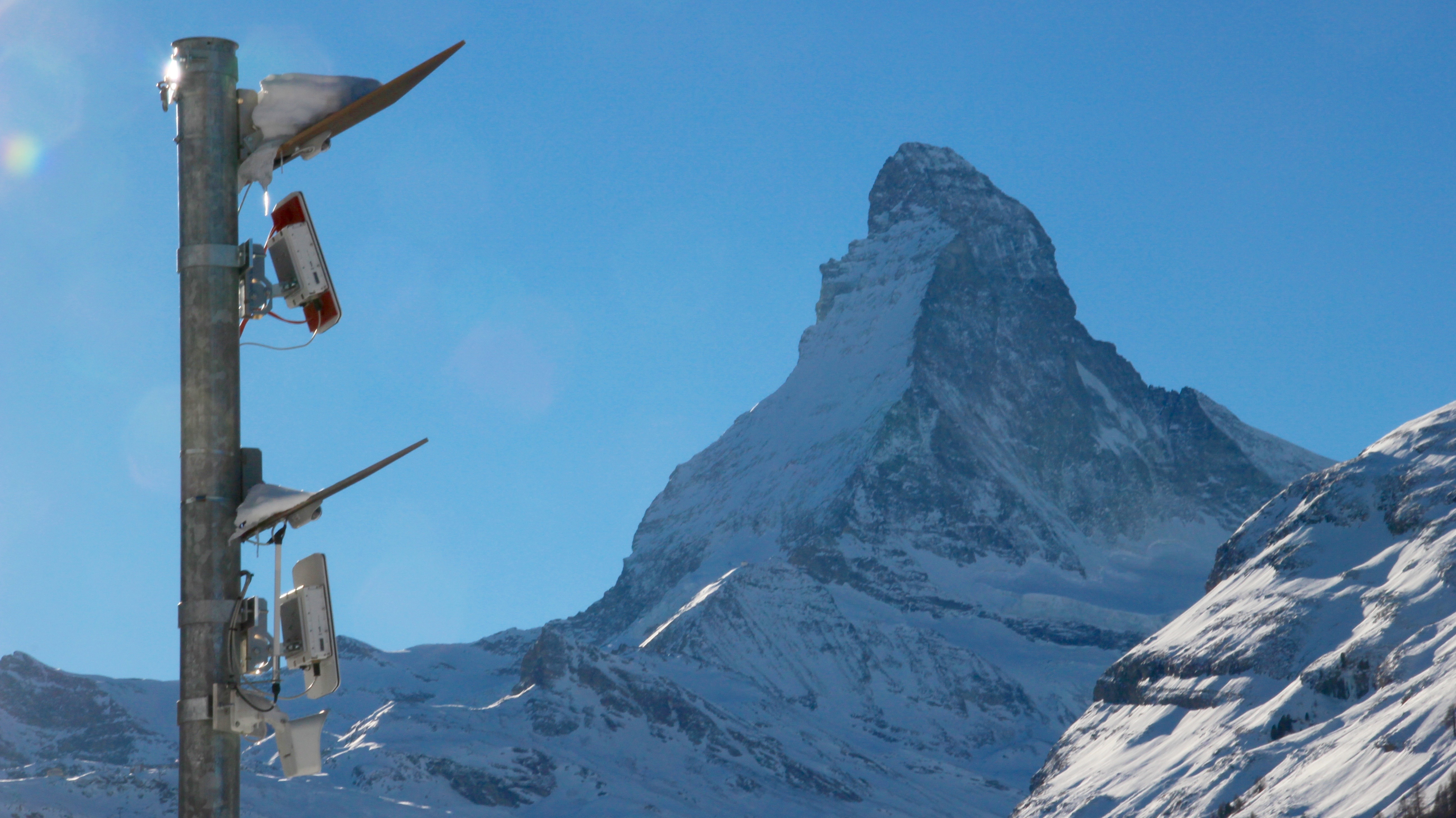
The avalanche radar system in Zermatt independently detects avalanches and automatically closes the access road.

Rockfall radar

Over 1 km range and 1 km² monitoring area. In all weather conditions.

GRAVX® online data portal

Our online data portal displays live measurements and past events.

Personal radar

The radar detects people in the danger zone and provides a reliable alarm. In all weather conditions, day and night, over several square kilometers.

Georadar

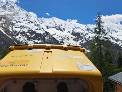
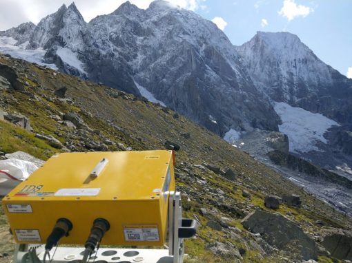
The interferometric radar detects even the smallest movements and provides monitoring for rock, glaciers, and permafrost.

Avalanche monitoring

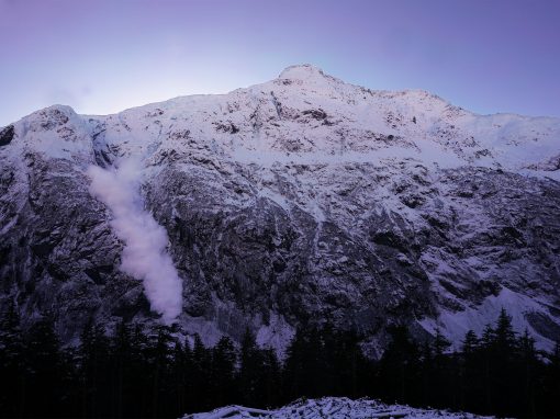
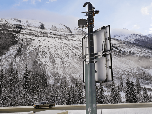
Monitoring an avalanche control at Bear Pass.

Motion sensors

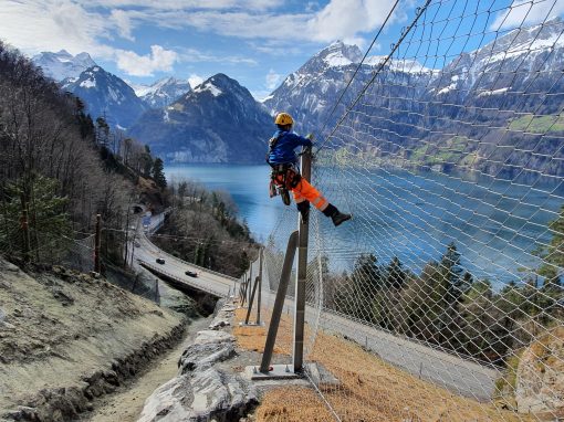
Lower maintenance costs for protective nets and increased safety thanks to alarm functions.

Cleft measurements

Extensometers and telejoint meters reliably measure rock cracks in the submillimeter range. Quick and easy installation.

Level measurements

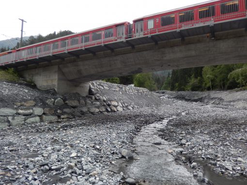
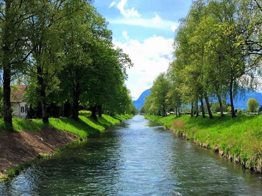
Flow height radar, laser, and pressure probes provide valuable discharge data during high water, flood waves, and glacial lakes.

Innovative technology

We use state-of-the-art measurement methods such as Doppler and interferometric radars for our alarm and warning systems.
More

Online data portal

Measurement and system status data are displayed digitally and are accessible to authorized users at any time.​
More

Alerting

Alarms are reliably sent via prioritized SMS, email, or phone calls. Roads are automatically closed with barriers or traffic lights.
More

Customer projects

Projects

Active alarm and monitoring systems

Countries

What do our customers say?

“Das Lawinendetektionssystem unterstützt uns wesentlich in der Beurteilung der aktuellen Lawinensituation und ermöglicht uns ein besseres Verständnis der regionalen Lawinenbedingungen. Somit können wir zum einen genauere Lawinenprognosen abgeben und konnten zum anderen diesen Winter die Dauer der Highway-Sperrung um über 40% reduzieren.”
RyanBoyle_pictureRyan Boyle
Verantwortlicher für die Lawinensicherheit
Ministerium für Transport und Infrastruktur (MoTI)

“Das im Dezember 2018 neu installierte Lawinen- und Personenradar auf der Belalp hat uns bereits nach kurzer Einsatzzeit überzeugt und erleichtert unsere Arbeit enorm. Mit den Echtzeitinformationen und Bildern haben wir nun die erwünschten Daten und Infos vor, während und nach Lawinensprengungen, was uns die Entscheidungsfindung erleichtert.”
Testimonial Geopraevent 1 Peter Schwitter Chef Regionaler Sicherheitsdienst
Aletschgebiet

“Die Anlage funktioniert sehr gut! Sie erleichtert uns die Überwachung der Verbindungswege von Täsch nach Zermatt. Jede Lawinenbewegung im Gebiet wird angezeigt und die Situation kann viel besser beurteilt werden.”

Testimonial Geopraevent 1 Bruno Jelk Chefbeobachter Winter
Regionaler Sicherheitsdienst Mattertal

Bei kritischen Wettersituationen können wir uns auf das Alarmsystem verlassen und müssen nicht mehr ständig in erhöhter Bereitschaft sein. Mit Hilfe der verschiedenen Messungen lernen wir den Bach mit seinen Eigenheiten besser kennen und können Situationen in Zukunft noch besser einschätzen.

Martina Sättele
Spezialistin Naturgefahren
Rhätische Bahn RhB