Webcams
A picture often conveys more than a thousand measurements. With a single glance into a hazard zone, the responsible authorities can often make an initial assessment of the situation. In addition, innovative high-resolution cameras can be used for the automatic deformation analysis of the monitored area.
GEOPREVENT installs and operates webcams in alpine environments with autonomous power supply and data transmission via GPRS, radio, or cable connections.
Advantages
- Insight into the hazard zone at any time of day
- Live images can be triggered on demand via the online data portal.
- High-resolution images with up to 40 megapixels
- Automatic deformation analysis for a predefined monitoring period
- The system automatically selects the most suitable images for deformation analysis.
- Access to archived images via the online data portal
- Image transfer to the online data portal (GPRS, wireless or cable)
- Self-sufficient energy supply
- Robust construction for installation in alpine terrain
- User-friendly features in the online data portal (e.g. charts with embedded images)
Applications
Images can be crucial when assessing a situation. Webcams are used at various monitoring stations and in the context of natural hazards, either as a stand-alone instrument (for example, for deformation analysis) or to complement other alarm and monitoring technologies. To ensure the highest possible image quality, we use cameras with a resolution of up to 40 megapixels. These enable us to detect even the smallest details within the hazard zone.
Webcams are used in many applications. Here are a few examples:
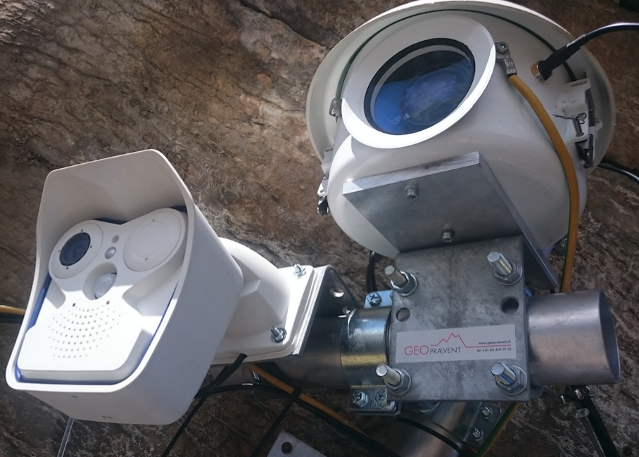
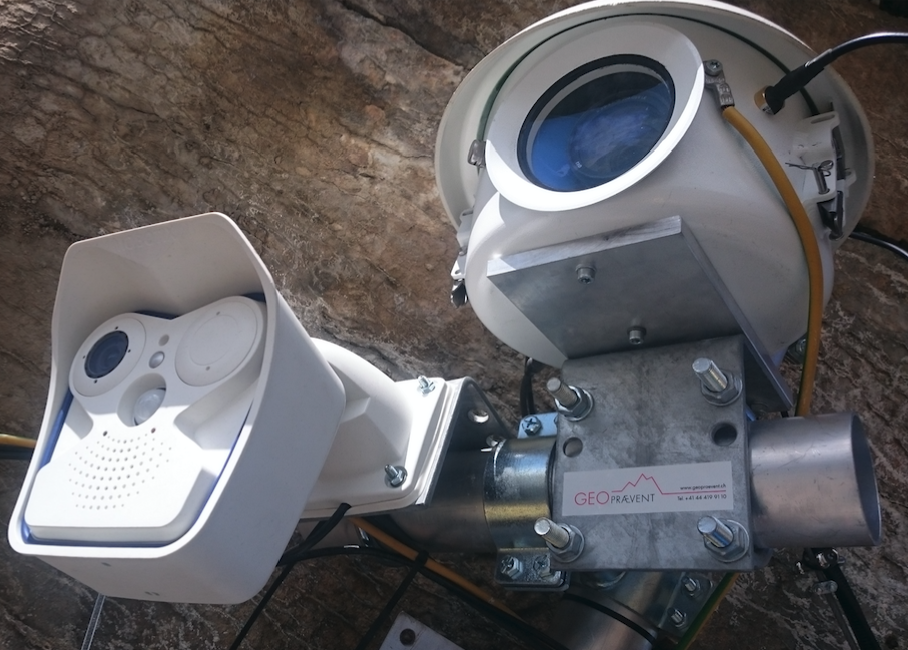
View from two different webcams: a standard Mobotix and a high-resolution camera in an enclosure.
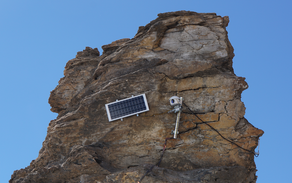
Installation of the high-resolution camera on the Giétro Glacier.

This innovative camera delivers high-resolution images, capturing even the finest details, even from a great distance.
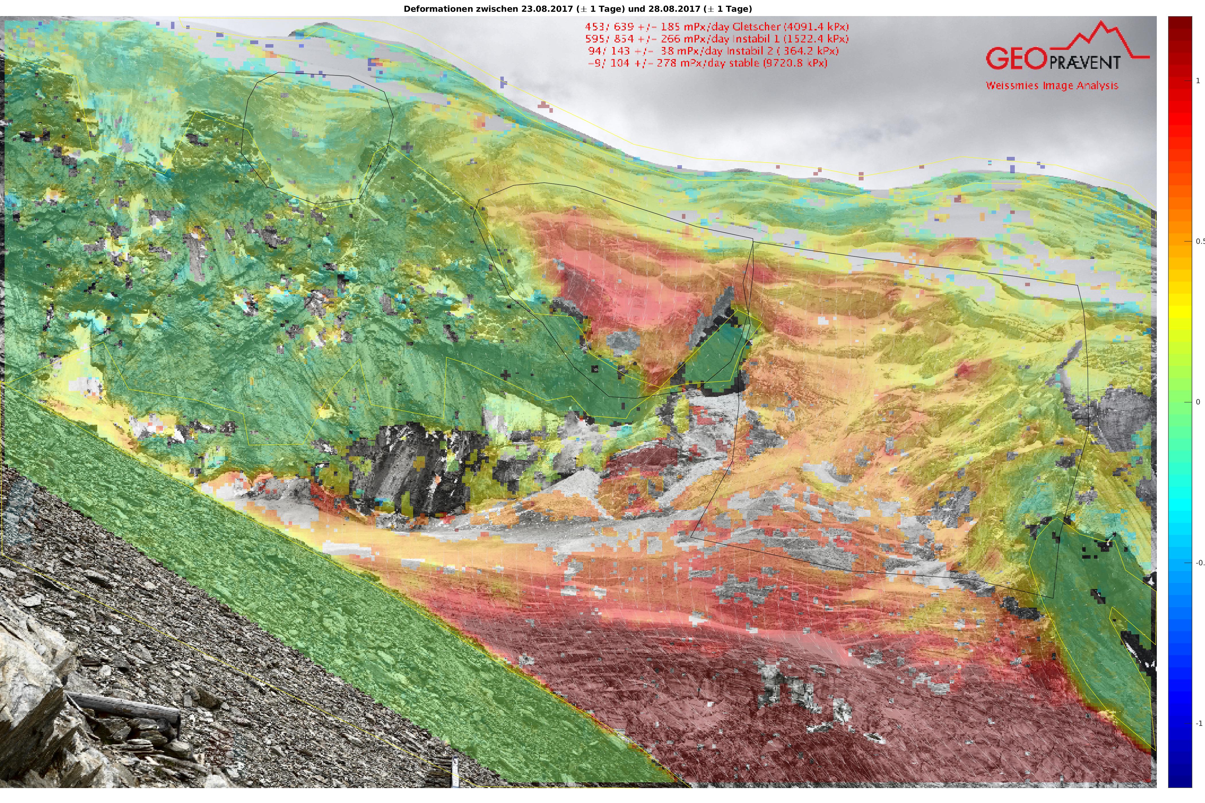
Deformation analysis using the high-resolution camera: The system selects the most suitable images for analysis from the daily set of images and automatically calculates the displacements over a defined period.
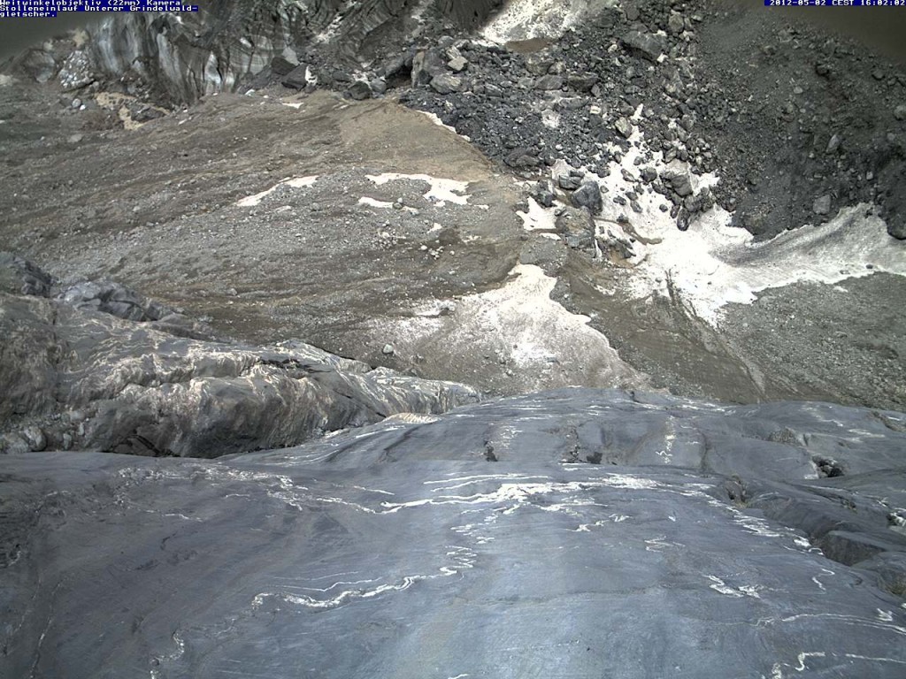
A camera view of the tunnel entrance at the lower Grindelwald Glacier.
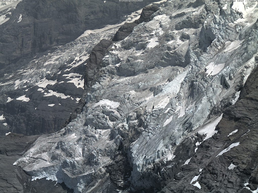
Image Giesengletscher.
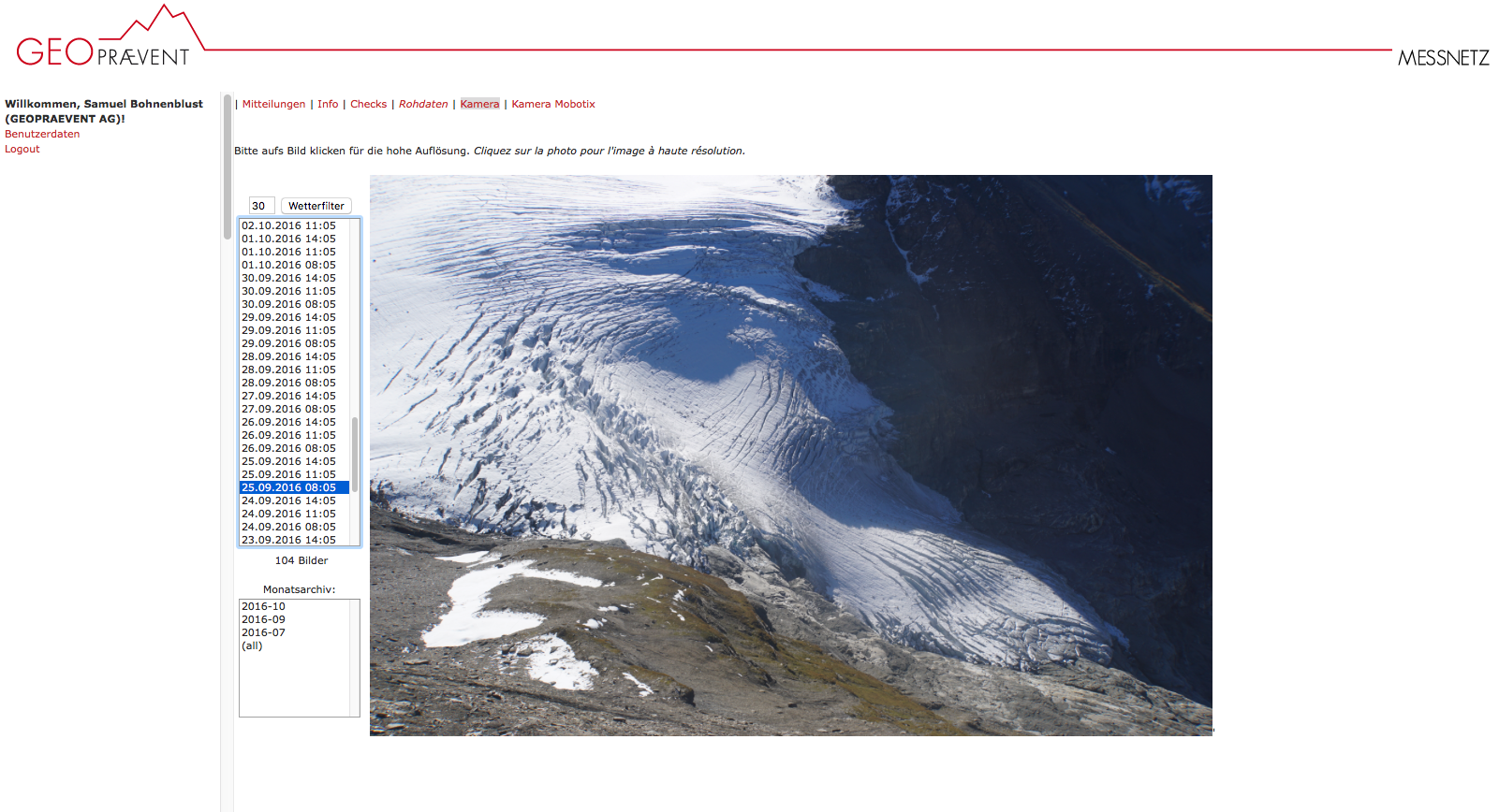
Image of the Giétro Glacier captured by a high-resolution camera, available on the online data portal.
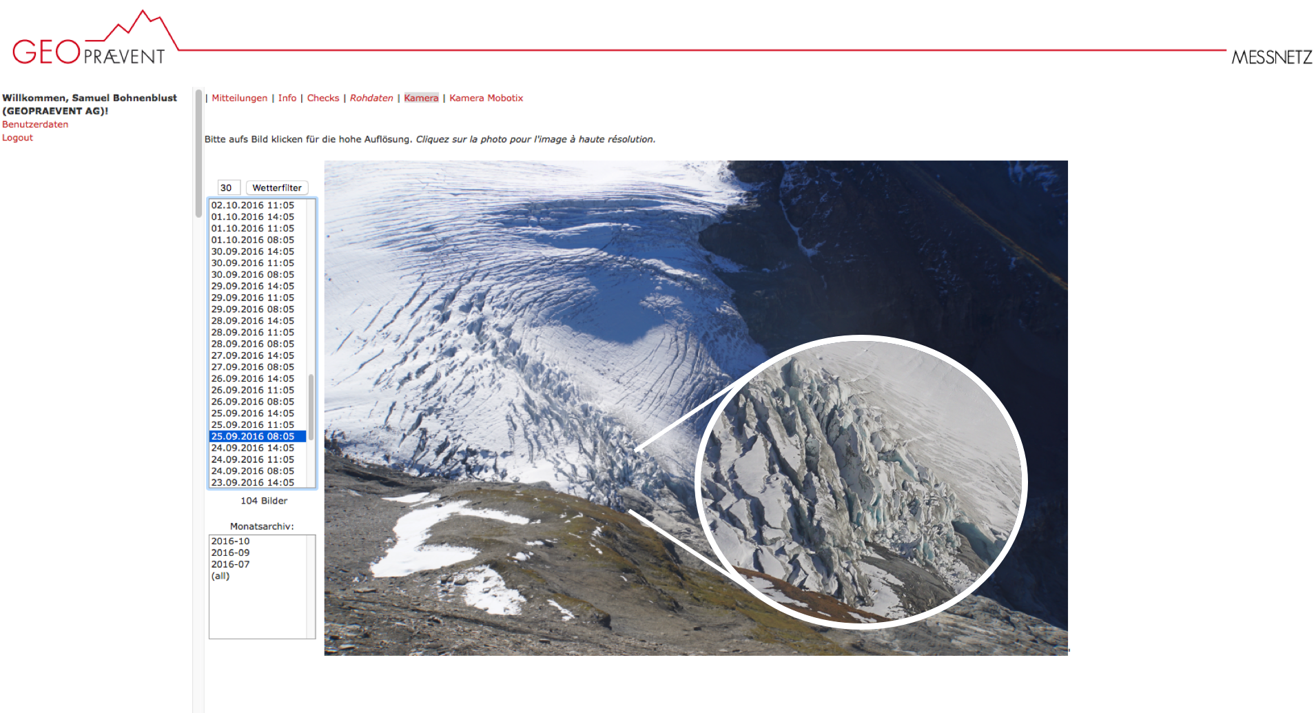
Thanks to the high-resolution camera, even the smallest details are visible.
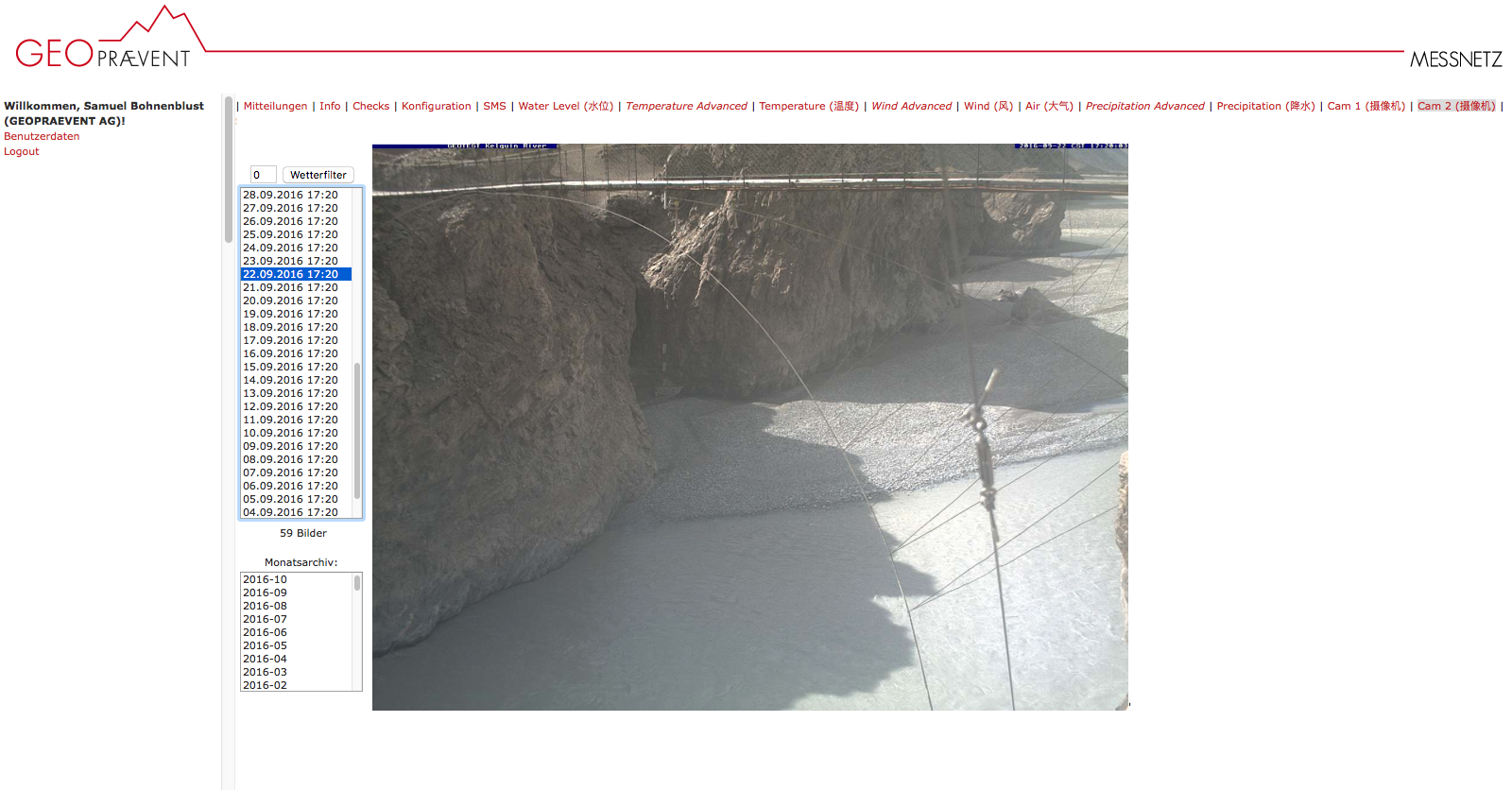
View of the Kelequin River in China. Webcam combined with water level measurements and satellite transmission.
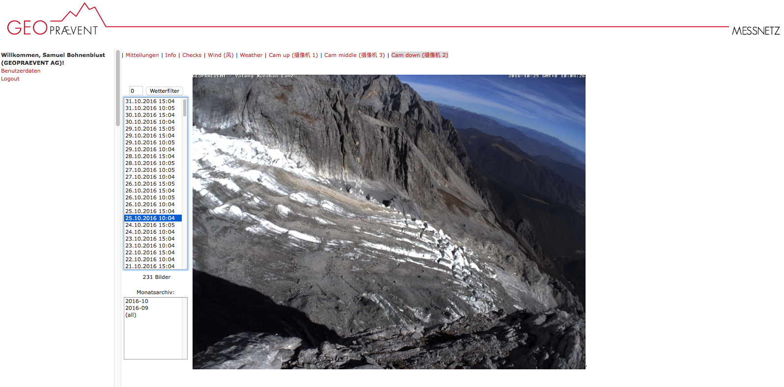
View of the Yulong Glacier in China on the online data portal.
Additional technologies
Webcams are often used to complement other measurement technologies: